CBI Hydrodynamic Models
Hydrodynamic models are an efficient, comprehensive approach to representing coastal water dynamics. These numerical computational models can be used to simulate currents, water levels, sediment transport and salinity. CBI has spent the last four years implementing two of these models; FVCOM and the Coastal Modeling System (CMS). The past year has mostly been focused on working with CMS which is a 2D, finite volume, structured grid model developed by the U.S. Army Corps of Engineers for inlet dynamics. Our first model was a large scale, low resolution model used to simulate water levels across Corpus Christi Bay, Copano Bay, Aransas Bay and Upper Laguna Madre. Recently, we have been working on implementing a methodology to verify hydrodynamic model inundation predictions through the use of remote sensing and GIS techniques.
Click the links below for more information
The Packery Channel Hydrodynamic Model (PCH-Model) is available for review at https://cbi.tamucc.edu/hydrodynamic-research/
INUNDATION ANALYSIS USING HYDRODYNAMIC MODELS & GIS (.pdf)
HYDRODYNAMIC MODEL COMPARISON OF FVCOM AND CMS (.pdf)
PERFORMANCE OF CMS IN THE TEXAS COASTAL BEND (.pdf)
COASTAL MODELING SYSTEM FOR THE TEXAS COASTAL BEND (publication)
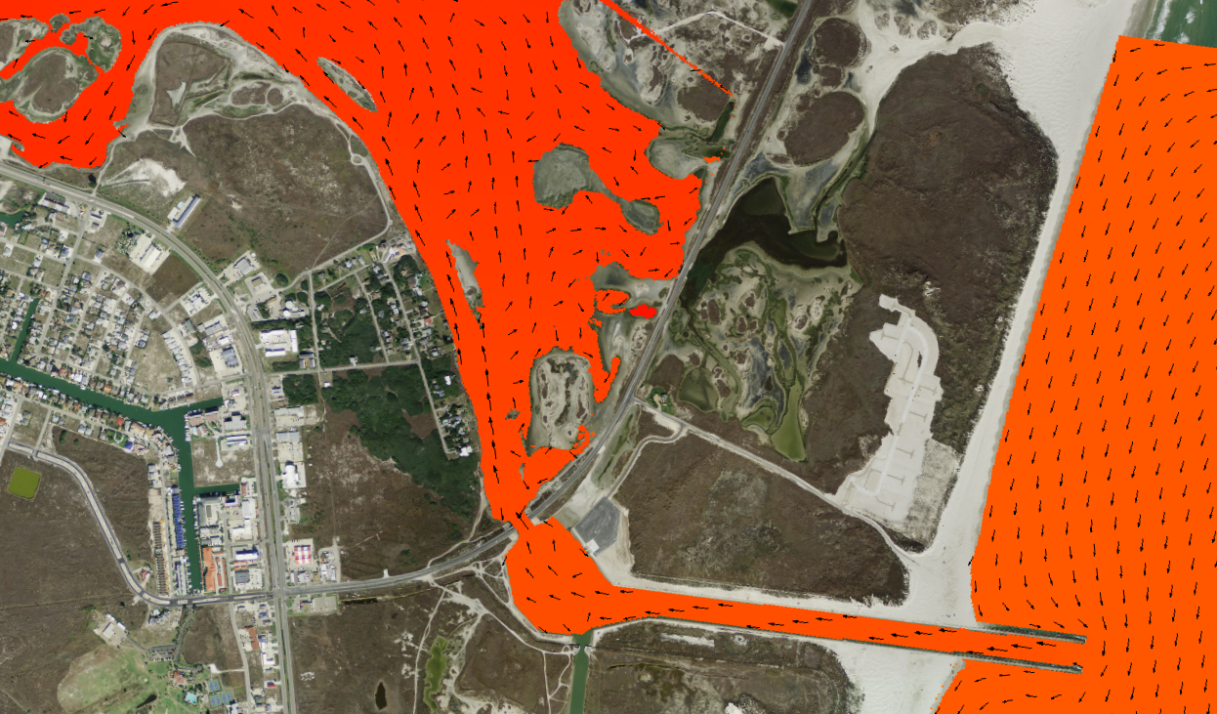
A low resolution CMS model grid used for water levels in and around Corpus Christi Bay, Texas
NOTE: the video below is only for visualization purposes
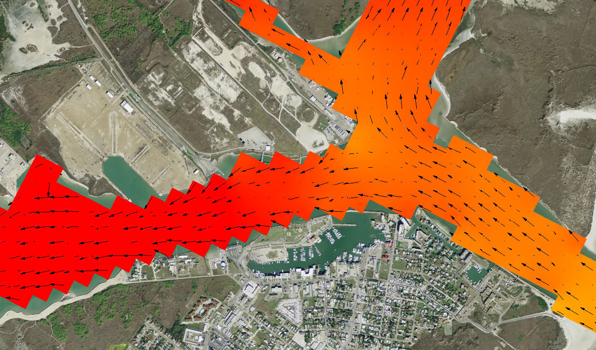
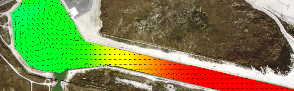
A high resolution CMS model grid used to simulate inundation around Packery Channel, Texas
NOTE: the video below is only for visualization purposes